Description
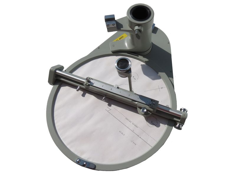
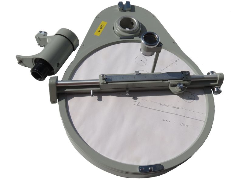
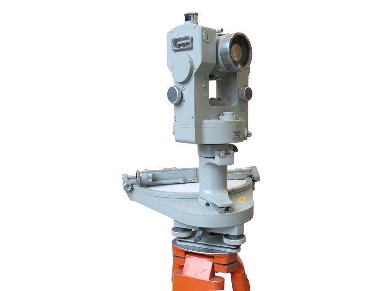
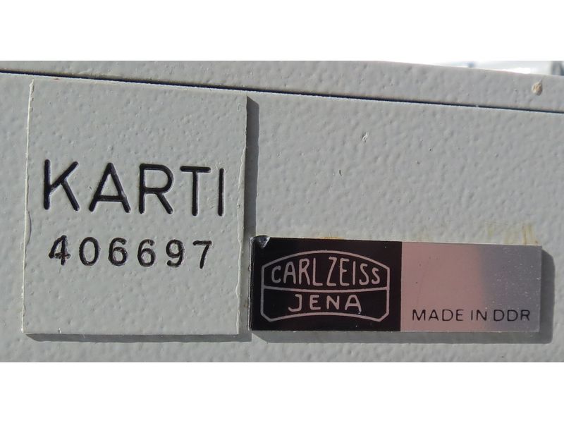
“Karti” plane table made by Carl Zeiss (c.1970). The item is used in conjunction with a tacheometer or theodolite. A converter is present to allow a range of compatible instruments to be attached.
The Karti is an attachment for theodolites and tacheometers, which can be utilized as a plane table. The surveying instrument plug fits into the socket on the plotting table. The top part of the instrument can then be coupled with the rotatable part of the plotting table. A Carl Zeiss “Theo” 101 theodolite in this collection is compatible with the “Karti” (see https://ice-museum-scotland.hw.ac.uk/product/2019-042/.
The plotting table rotates with the instrument. A transmission rotates the plotting surface of the table in opposite direction, so that it remains orientated to the ground. The bridge, containing ruler, pricking device and reading index, which is suspended above the circular plotting surface, and which is parallel to the collimation axis rotates with it around the vertical axis. Thus the direction to a rod set up on the ground is transferred onto the plotting surface. After the optically measured distance is set at the ruler, the position of the target is plotted by depressing the pricking device. Thus for each instrument station a partial map is obtained, which together with the ones from other stations, can be combined to one map.
Information from Zeiss Archives [translated from German]
The Karti 250 mapping table in conjunction with the BRT 006 basic reduction total station has proven its worth for direct, semi-automatic mapping of polar mapped terrain points, i.e. for further automation of the terrain survey. The mapping accuracy is less than ±0.1 mm for all points of the drawing area of 250 mm diameter. External diameter of the turntable 280 mm, interchangeable scales, magnification of the scale magnifier 3.5x.

